Drone photography
Real estate drone photography in Idaho
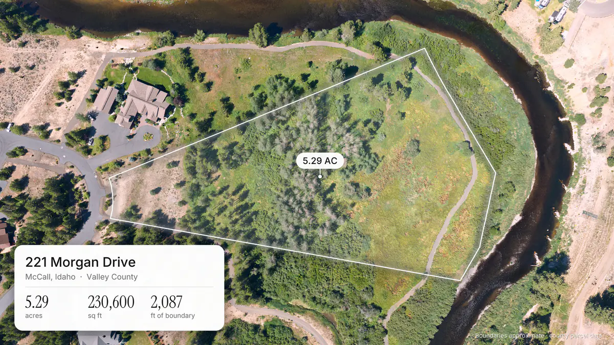
Aerials that show buyers the whole property: the lot, the land around it, and how close the water, trails, and town are. For land, we draw the county lot lines right on the photos.
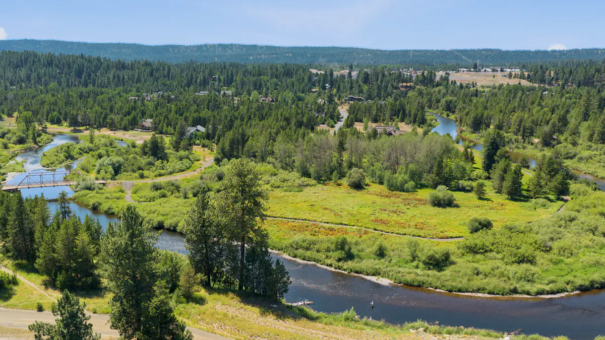
Featured listing
221 Morgan Drive, McCall, Idaho
5.29 acres · 2,087 ft of boundary · River's Crossing Subdivision, Lot 19, Block 2
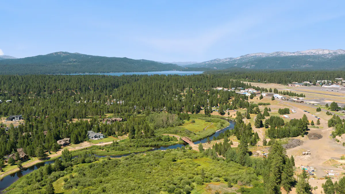
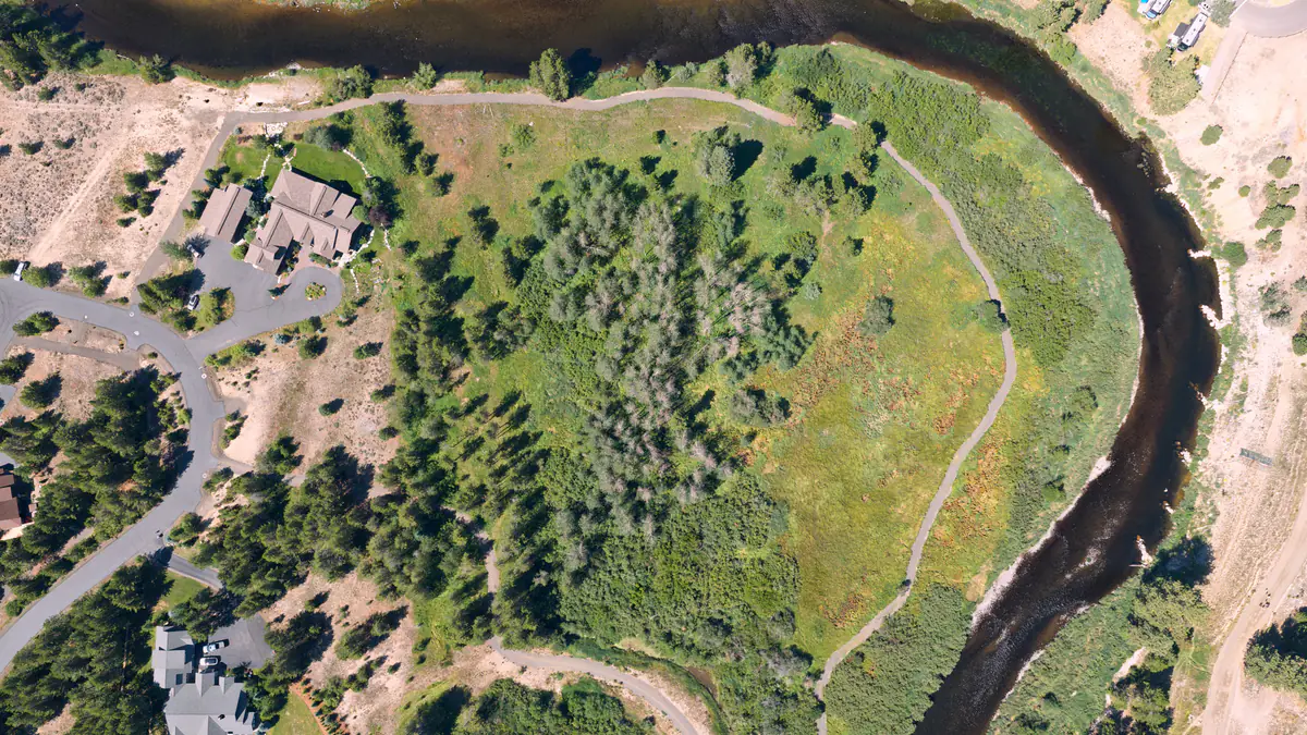
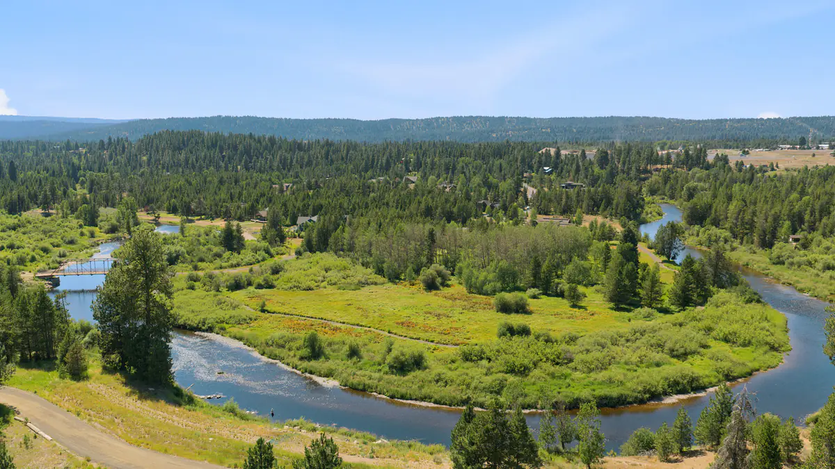
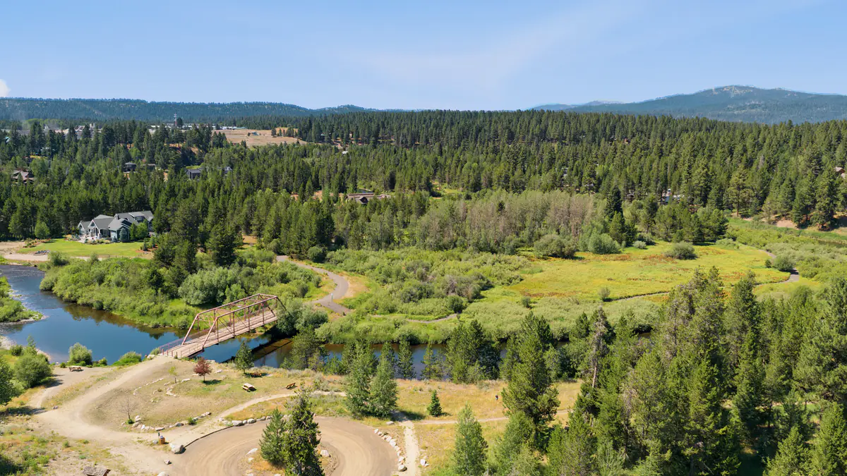
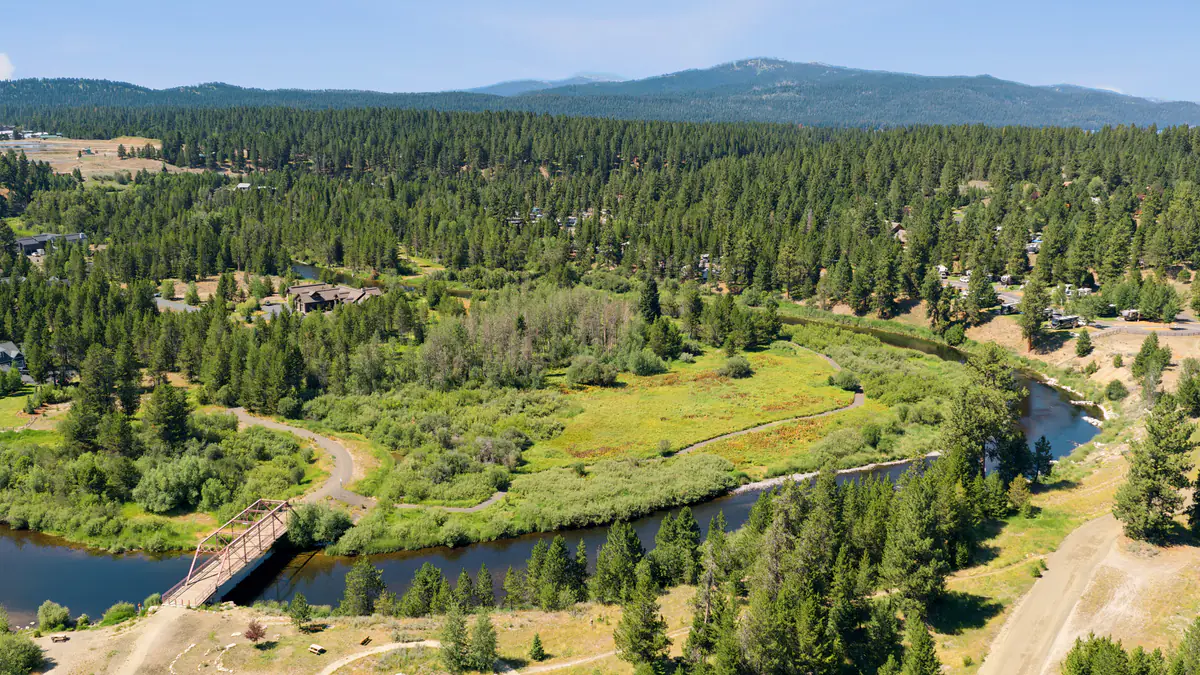
Lot lines drawn from Valley County parcel data. Boundaries approximate. Add lot lines at booking, $100
What drone coverage includes
Flown during the same appointment as your listing photos, so there's no second visit for the seller.
Drone photos
Exterior aerials that show the home or land, the lot, and what surrounds it: water, trees, neighbors, roads, and the mountains behind. Included in Social Plus and Summit.
Lot lines
For land and acreage, we draw the county parcel boundary onto the drone photos, so buyers see where the property starts and stops. Drawn from county parcel data; boundaries are approximate, not a survey. $100 on any shoot with drone photos, for Valley, Ada, and Canyon County lots.
Story posts
Ready-to-post vertical posts made from the drone photos, with the lake, the river, or the mountain pinned where they really are. Delivered as photos and short videos. Included in Social Plus and Summit.
Drone video
Aerial motion for the listing video or social posts. An add-on to any package, from $250.
New in Social Plus and Summit
Story posts, ready to post
Every vertical drone photo comes back as a finished post for stories and reels, with the lake, the river, or the mountain pinned where it really is. Post them as they are, or hand them to whoever runs your social.
See all six from 221 Morgan Drive and download them on the 3D lot page.
The 3D lot page
For land listings, we can build a property page that opens on a live 3D aerial of the lot, with the county line glowing on the ground. Scroll and it comes down overhead while the acreage and boundary count up. Buyers can turn it, zoom in, and tap any number to stand where that drone photo was taken.
Built from public aerial imagery and elevation data, the county parcel record, and the drone's own flight positions.
 Open the 3D lot page for 221 Morgan Drive
Drone photography FAQ
What are story posts?
Ready-to-post vertical posts made from your drone photos, sized 1080 × 1920 for stories and reels, with nearby places like the lake, the river, or the mountain pinned where they really are and the distances worked out. You get each one as a photo and a short video. Story posts are included in Social Plus and Summit.
Which packages include drone photos?
Social Plus (from $550) and Summit (from $1,000) include drone photos. Starter does not. Drone video is an add-on to any package, from $250.
Can you show the property lines on the drone photos?
Yes. For land and acreage we draw the county parcel boundary onto the drone photos from county assessor parcel data, as on 221 Morgan Drive in McCall above. The lines are approximate and are not a survey. Lot lines are a $100 add-on to any shoot with drone photos, for lots in Valley, Ada, and Canyon counties.
What is the 3D lot page?
An interactive page that shows the lot on real aerial imagery and terrain with the parcel line drawn on it. Buyers can turn it, zoom in, and tap a number to see the drone photo taken from that spot.
Is there a first-time offer on drone photos?
Book listing photos. The drone photos and 3D tour are free. On your first listing with us, the Starter package comes with drone photos and a Zillow 3D Home tour with floor plan at no extra cost. Book by Nov 30.
Do you fly the drone legally?
Yes. Lightbox Creative carries general liability insurance and operates drone equipment in compliance with FAA regulations.
Put your listing in the air
Drone photos and ready-to-post story posts come with Social Plus and Summit. Add drone video to any package, or lot lines to any shoot with drone photos, when you book. Shooting in McCall? See McCall listing media.